ASPHALT
moderate

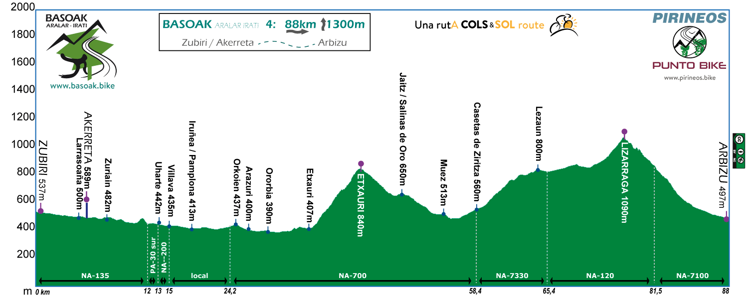
Stage 4
ZUBIRI - ARBIZU
Distance: 88 km Unevenness: 1.200 m
Going through the capital of the Vascones. 2 moderated COLS, Etxauri, and Lizarraga by Lezaun.
We find a different atmosphere for the last stage of BASOAK compared to the Pyrenean.
Pilgrims to the sides of the road. Walk around the birthplace of the five-time winner of the Tour Miguel Indurain, brunch in Pamplona and optional tour of the route of the San Fermin festival.
Later 2 moderated COLS where instead of Pyrenean beech, we have: oaks and farm fields.
The measurement of the stage allows us to have time if we need to take the car back home.

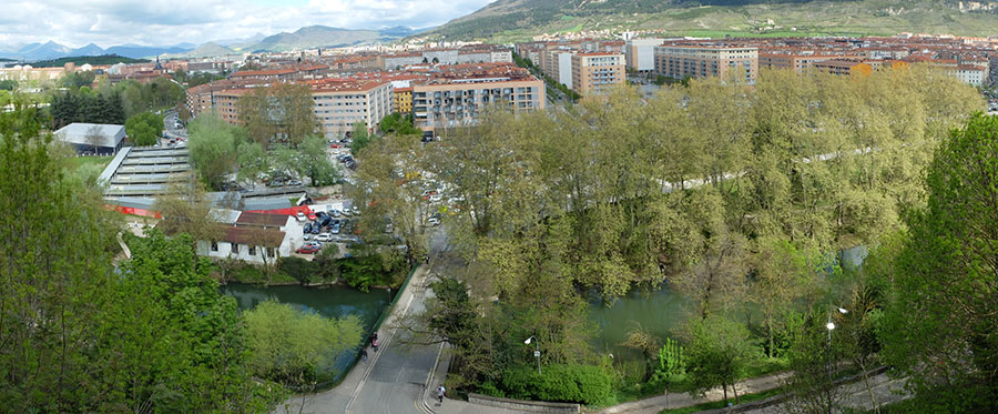
The river Arga on its way through Pamplona in its section coinciding with BASOAK.
Birthplace of the five-time champion of the Tour Miguel Indurain, a symbolic value added to the route.
Without leaving Villava we continue our tribute. Monument to Indurain in one of the roundabouts of the village.
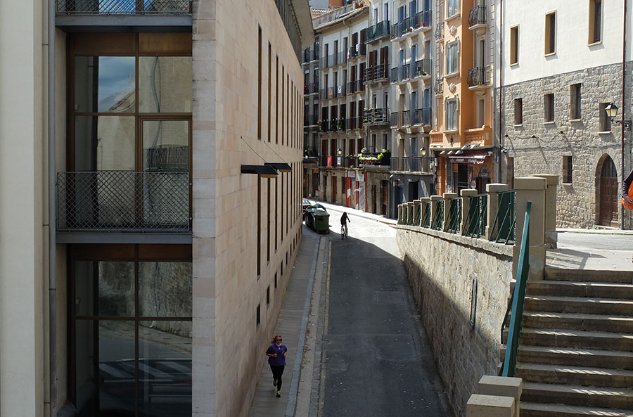
Cuesta de Santo Domingo in the old town of Pamplona. Starting point of the San Fermín bull runners and tour of the opening match of La Vueta to Spain 2013. BASOAK users can cycle the street. In the tab "Tracks Downloads" we added the track that starting from the bridge over the Arga includes the joint layout of the Encierro and Encierrillo.
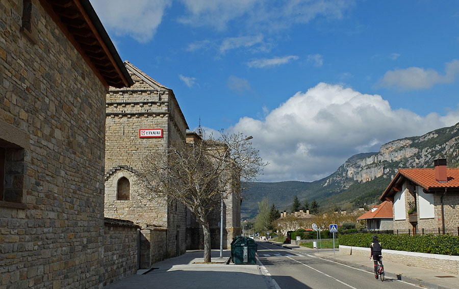
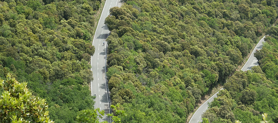
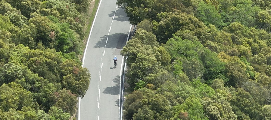
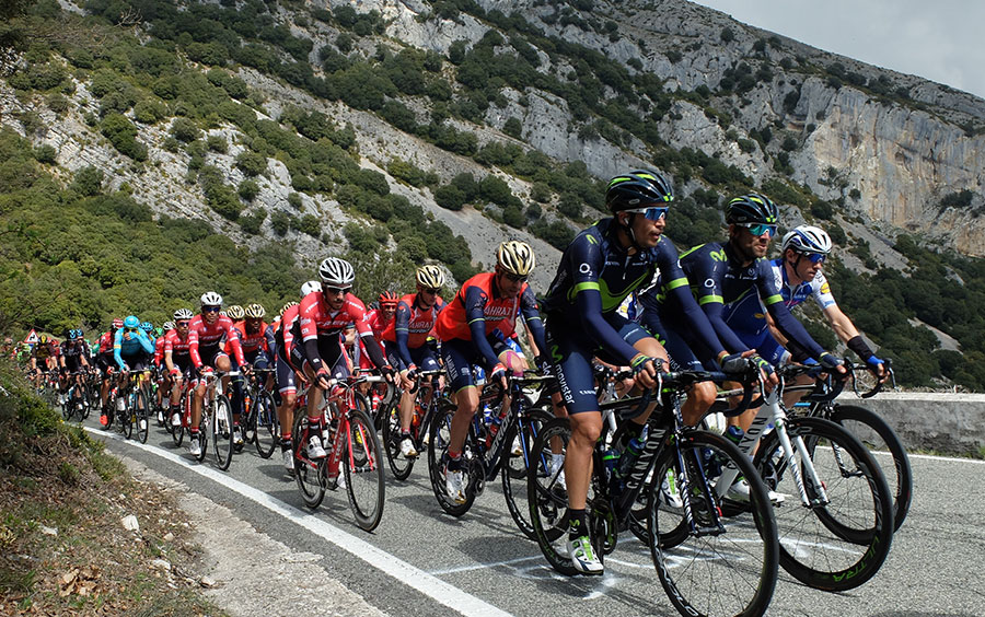
In the village of Etxauri begins the port of the same name, 6.8 kilometers with a slope that remains almost unchanged between 6 and 7% during the whole ascent. The road ascends to the left of the walls of the image.
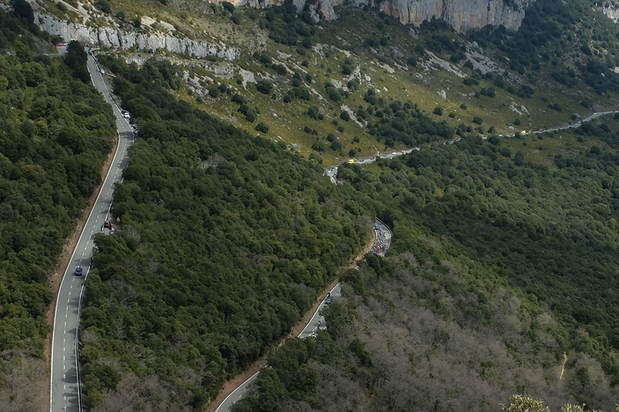
Professional peloton ascending the port of Etxauri - Euskal Itzulia 2017 -
Port of Etxauri. Back to the forest, holm oaks and "quejigos".
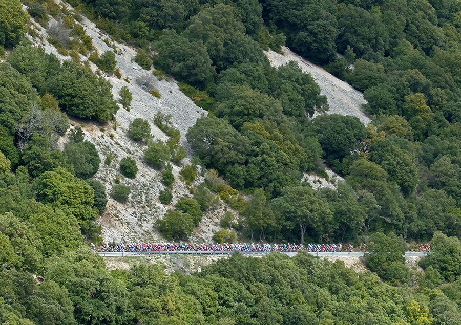
Professional peloton in the last kilometer of the port of Etxauri - Euskal Itzulia 2017 -
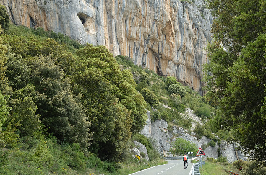
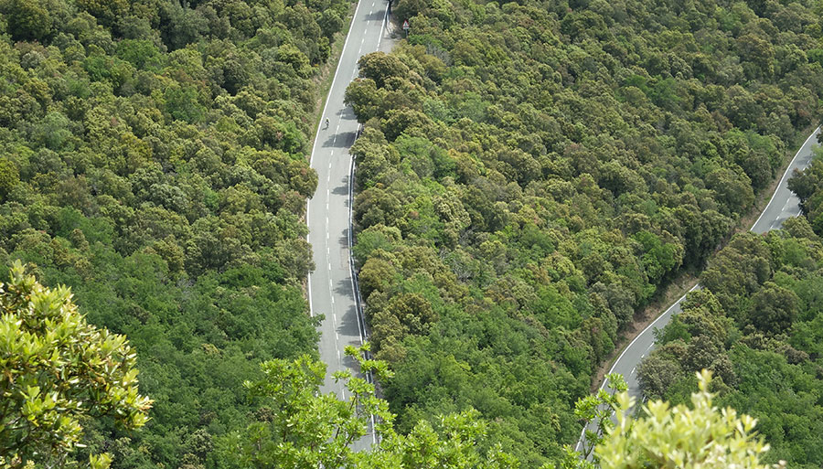
Port of Etxauri. Pedal under the rocks of the Climbing School.
Port of Etxauri, two kilometeres to the top. - Euskal Itzulia 2017 -
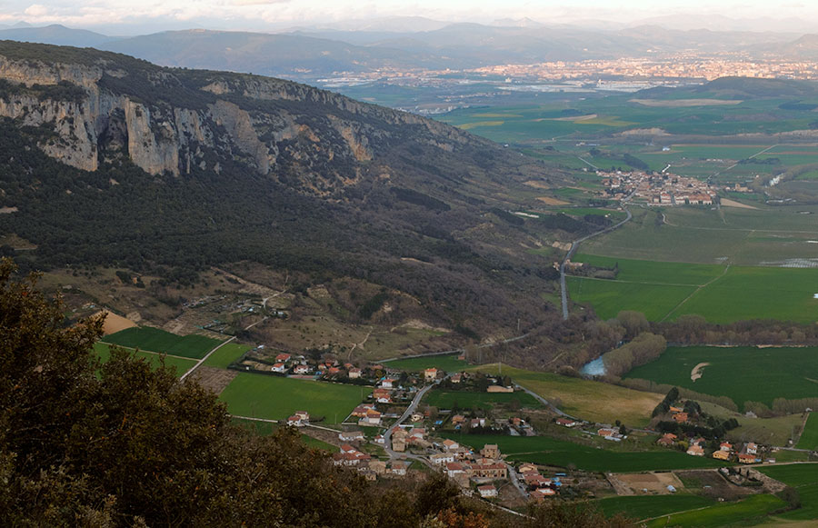
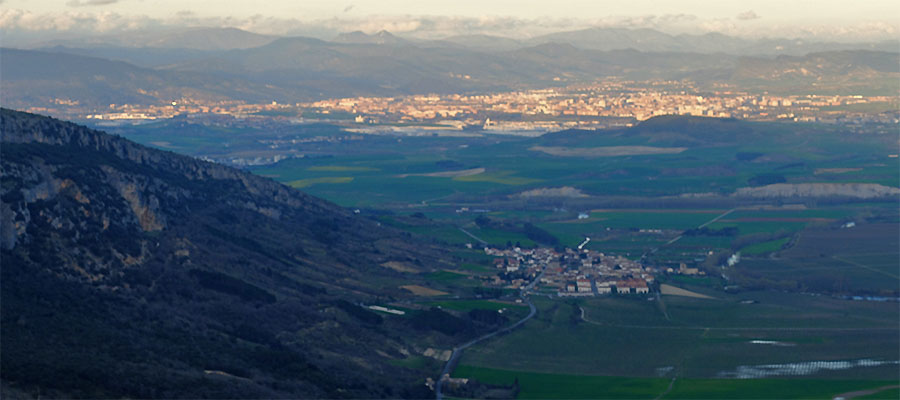
The Pamplona Basin from the Alto de Etxauri. In the background Pamplona and The Pyrenees.
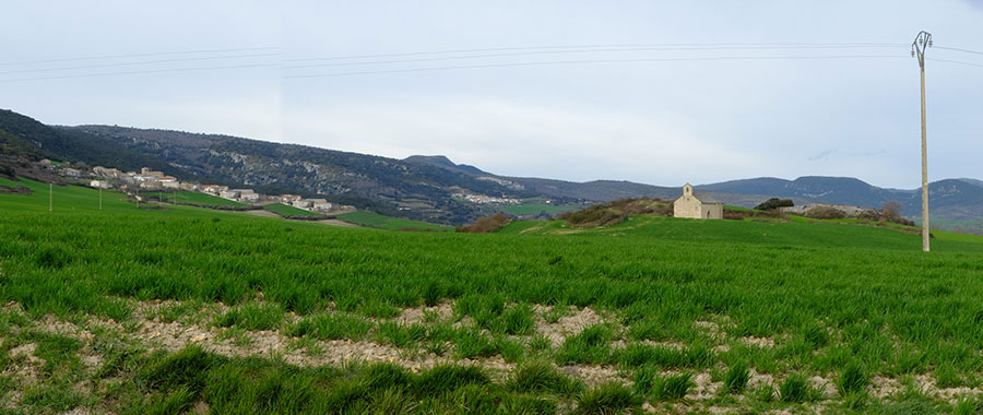
Scenario during our ascent to Lezaun, Aritzaleta and the Hermitage of Santa Catalina.
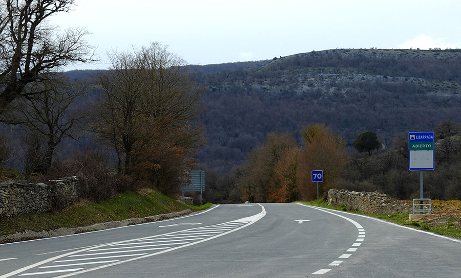
Port starts. We go into the Sierra de Andia.
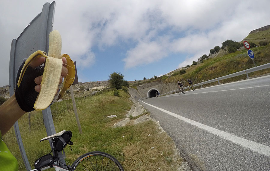
Filling tanks after topping the Alto de Lizarraga.
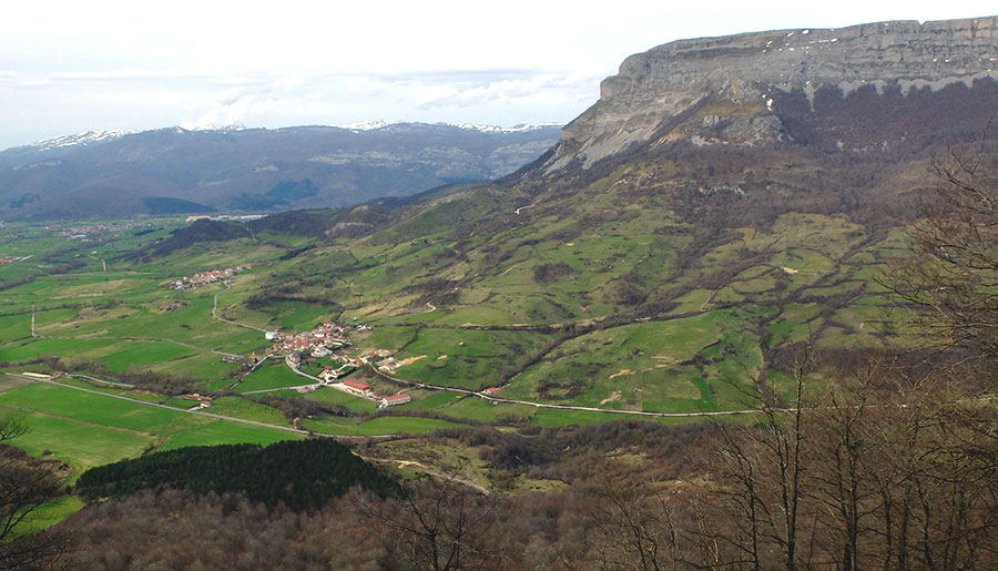
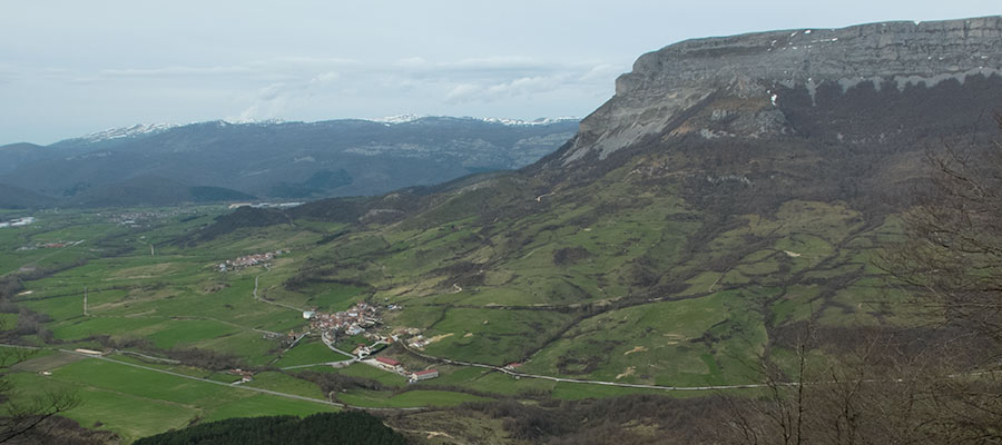
Port of Lizarraga. Scenery on the northern slope of the tunnel, the snowy Sierra de Aralar in the background and the 1495 meters of Beriain Mountain taking over the landscape.
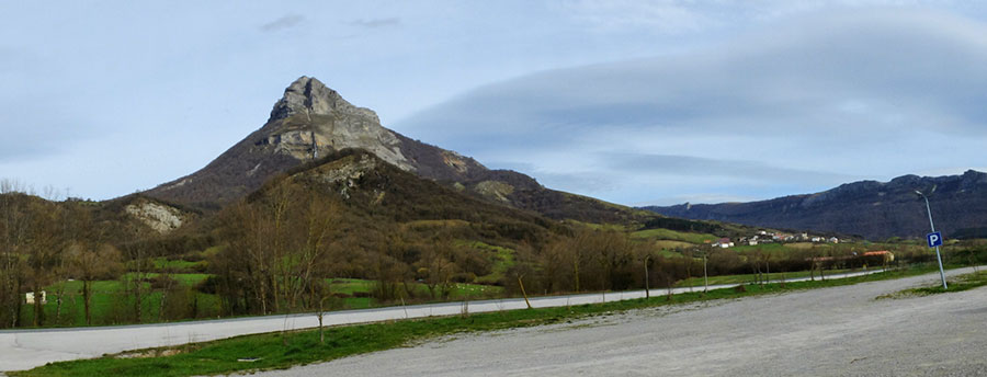
The imposing mole of the Beriain Mountain after descending the Port of Lizarraga. Back to the starting point, we are completing BASOAK.
in preparation
GPX file for GPS devices:
Download Basoak
Download Encierro SanFermin
KML file to view in Google Earth:
Download Basoak
Download Encierro SanFermin
ZIP file to ensure the download:
Download Basoak
Download Encierro SanFermin
If the download is done in text mode, select (right button or long press): "Open in new tab"
If you want to see the route on wikiloc website click on the green icon on the map
Criteria used in the 6 levels that we have chosen for the ranking of the routes:
- Walks or family routes: Routes with light slopes and little travel. Suitable for untrained family groups or for people who usually don't use the bike
- Easy: Routes with a slope that can reach 1000 meters but facing none of the large ports.
The distance will range between 40 and 60 kilometers. - Moderate: Routes with one of the "great" ports or a combination of similar difficulty. The slopes can be really important and slopes can range between 1000 and 2000 meters.
The distance will vary between 60 and 100 kilometers. - Hard: Routes with a slope ranging around 2500 meters. There may have to ascend 2 ports of the "greats" or one and several of the "minor".
The distance will vary between 90 and 130 kilometers. - Very hard:: Routes ranging from the 2500 and 4000 meters of altitude. Sometimes there may have to ascend the 3 ports of the '' greats ''.
The distance will exceed the 100 kilometers and may reach up to 200 km. - Challenge: In these times there is a public that demands "more" yet. To them arises the concept of "challenge": stages of more than a day in "non-stop" mode, 4500-5000 or even more meters of altitude routes, individual or group time trial with 3000 meters of altitude and over 100 kilometers of route.
Finally, a variety of what riders would usually call "nonsense" which to be more elegant, here we call it, 'Challenges'.
 Return
